
Costa de la Luz · Your travel guide
Tarifa
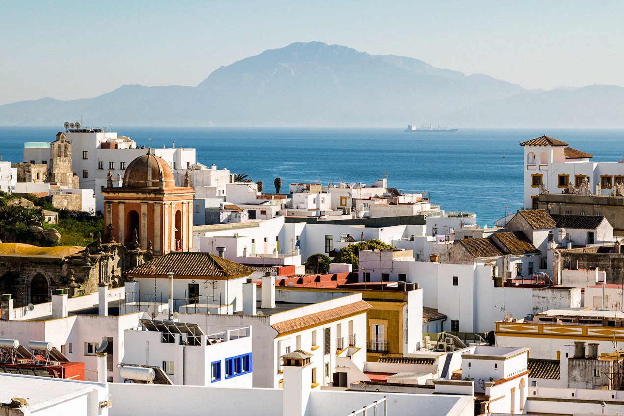
Tarifa is in Andalusia on the Costa de la Luz, where the Atlantic and the Mediterranean meet in the Strait of Gibraltar. The old town and its castle begin behind the Puerta de Jerez, and to the north-west the sandy beaches stretch all the way to Bolonia. Ferries cross the Strait from the port to Tangier.
Trip ideas for Tarifa
Old town and castle
Kitesurfing
Day trip to Tangier
Day trips in the area
Castle, coast and Strait
Tarifa and the coast on the map
All places on the map as a list (9)
On this page
Tarifa on the Strait of Gibraltar
Tarifa is a municipality in the province of Cádiz in Andalusia with around 18,600 inhabitants. The town lies on the Costa de la Luz, the Atlantic coast of the provinces of Cádiz and Huelva, at the tip of the Strait of Gibraltar, open to both the Atlantic and the Mediterranean. At its narrowest the Strait is only 14 km wide, and this is where Europe and Africa come closest. Off the port lies Isla de las Palomas with Punta Marroquí, the southernmost point of the Iberian Peninsula.
Its position between two seas shapes the weather. The easterly Levante blows mainly in spring and summer, often for several days at a time, while the westerly Poniente brings clear air. The wind sets the tone for a day on the beach and has made Tarifa a destination for kitesurfing and windsurfing. The municipal tourist office is on the Paseo de la Alameda.
Old town, castle and Isla de las Palomas
You enter the old town through the Puerta de Jerez, the gate in the town wall with its horseshoe arch. Behind it lie narrow lanes, the church of San Mateo on Calle Sancho IV El Bravo and the church of Santa María. The town wall once enclosed three areas: the Almedina, the Aljaranda and the Arrabal.
The Castillo de Guzmán el Bueno stands by the port. The castle was built in 960 under Abd al-Rahman III and captured by Sancho IV in 1292. Today exhibitions lead you through its rooms, and the wall walk takes you along the top of the castle wall. Isla de las Palomas off the town is part of the Parque Natural del Estrecho, and access to the island is restricted. More places to visit in town and along the coast are in Things to do.
Beaches, wind and whales
The municipality has almost 38 km of beaches, most of them shelving gently and with fine sand. Little Playa Chica lies right next to the old town, followed to the north-west by Playa de los Lances, Valdevaqueros and Punta Paloma. The beaches differ mainly in wind, waves and facilities. Los Lances is a protected natural area, and kitesurfing is only allowed in designated zones.
Further north-west lies the bay of Bolonia with a dune over 30 m high. On Bolonia beach stand the ruins of the Roman town of Baelo Claudia, with its forum, theatre and the tanks of the fish-salting works.
Dolphins and pilot whales live in the Strait, and orcas join them in summer. Boat trips to watch whales and dolphins leave from the port of Tarifa. The boats have to keep set distances from the animals.
Tangier, getting there and where to stay
Ferries run from the port to Tanger Ville, Tangier's city port in Morocco. For a day trip to Tangier, British nationals need a passport. Departures and what happens at the port are covered on the Tarifa - Tangier ferry page.
Tarifa has no airport of its own. The nearest airports are Gibraltar, Jerez, Málaga and Seville, and from there you continue by bus or hire car. The M-150 bus links Tarifa with Algeciras, and by car the N-340 runs along the coast. Routes, buses and parking in town are covered under Getting there.
For overnight stays there are hotels, guesthouses, hostales and holiday flats in town and along the coast. Your choice of where to stay mainly depends on whether you want to be in the old town or by the beach. There are also seven sites for camping, most of them along the N-340. Wild camping on the beach is banned. Day trips to Vejer de la Frontera, Zahara de los Atunes and Gibraltar are described under Day trips around Tarifa.